DSC 1520

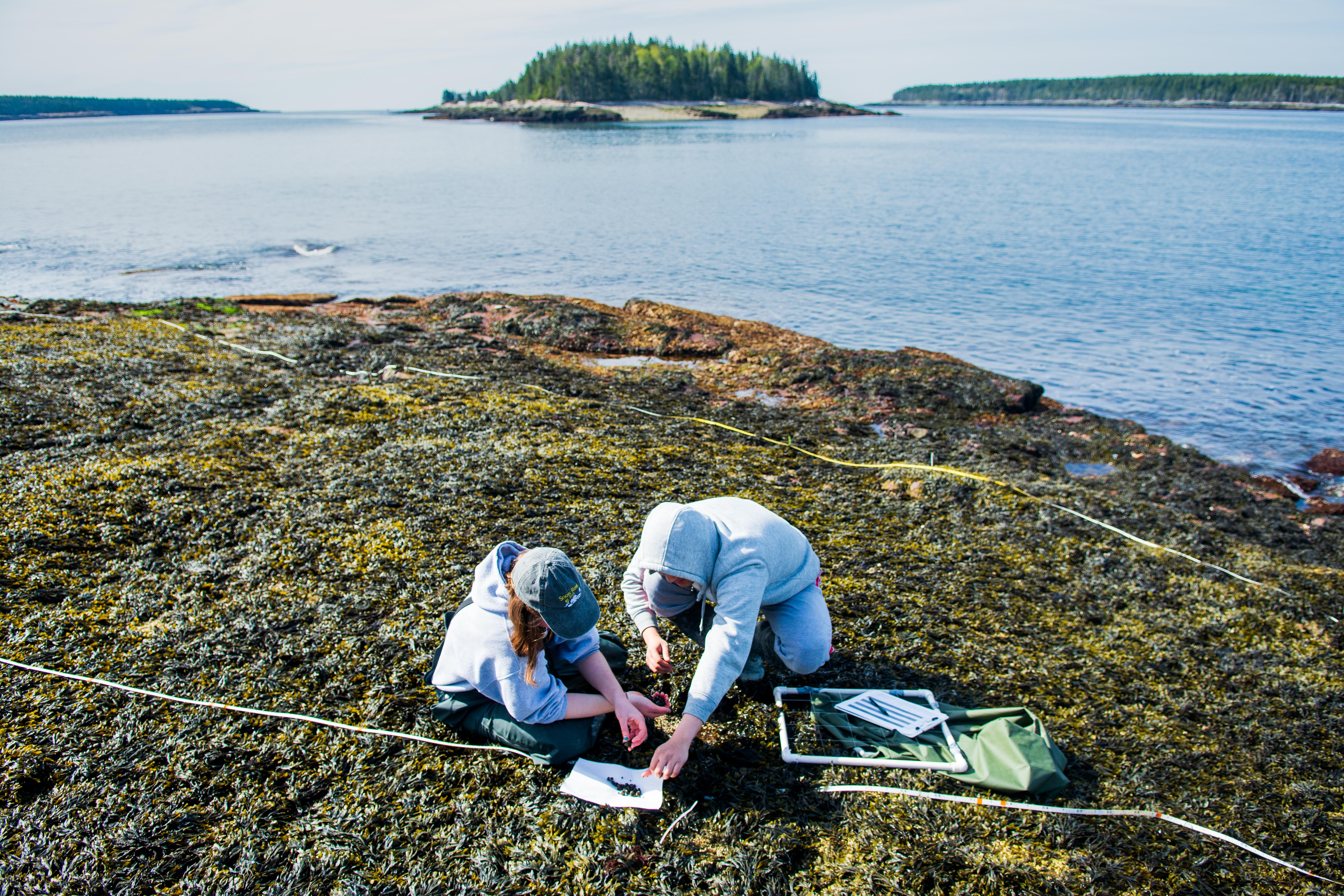
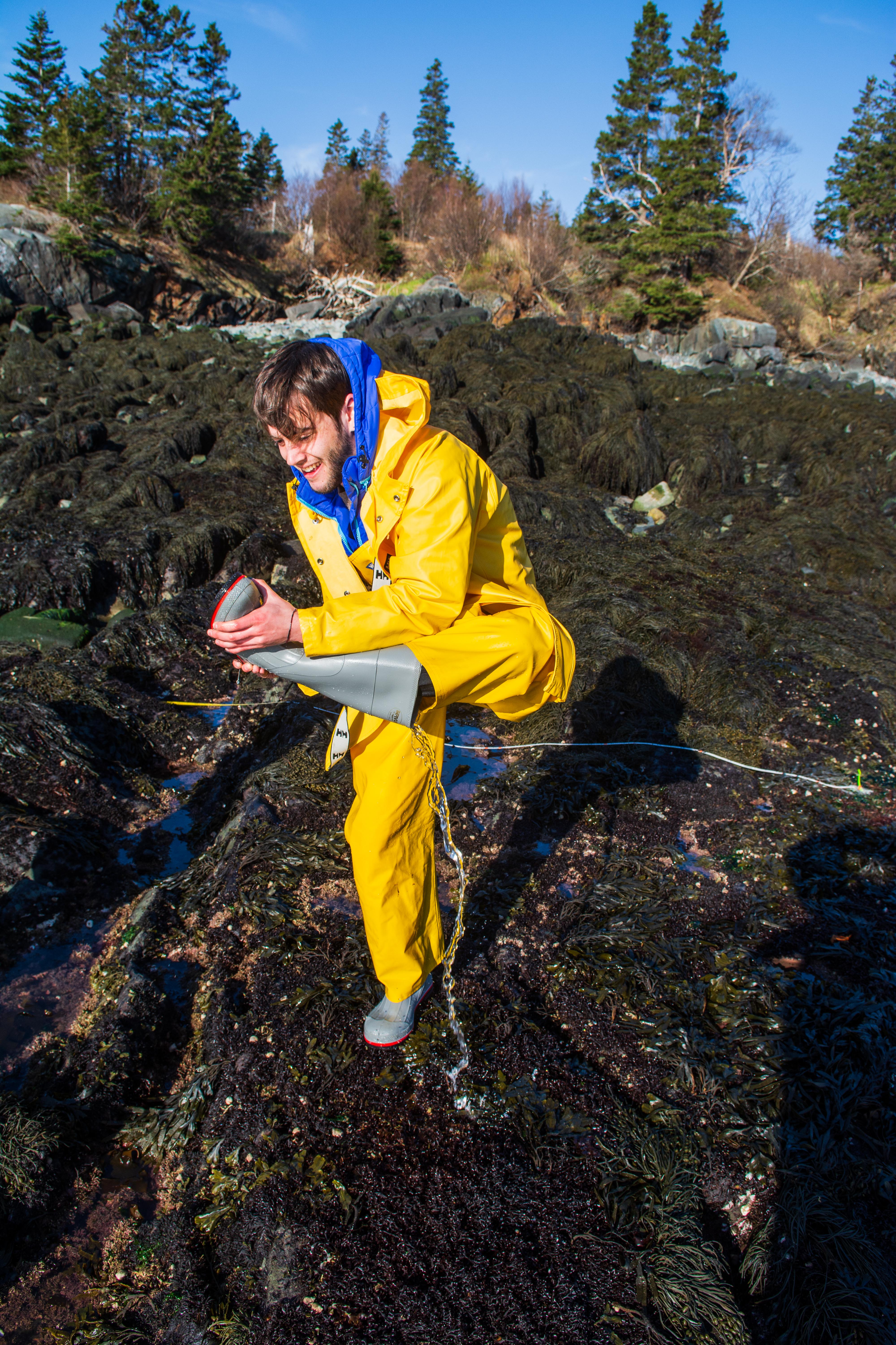
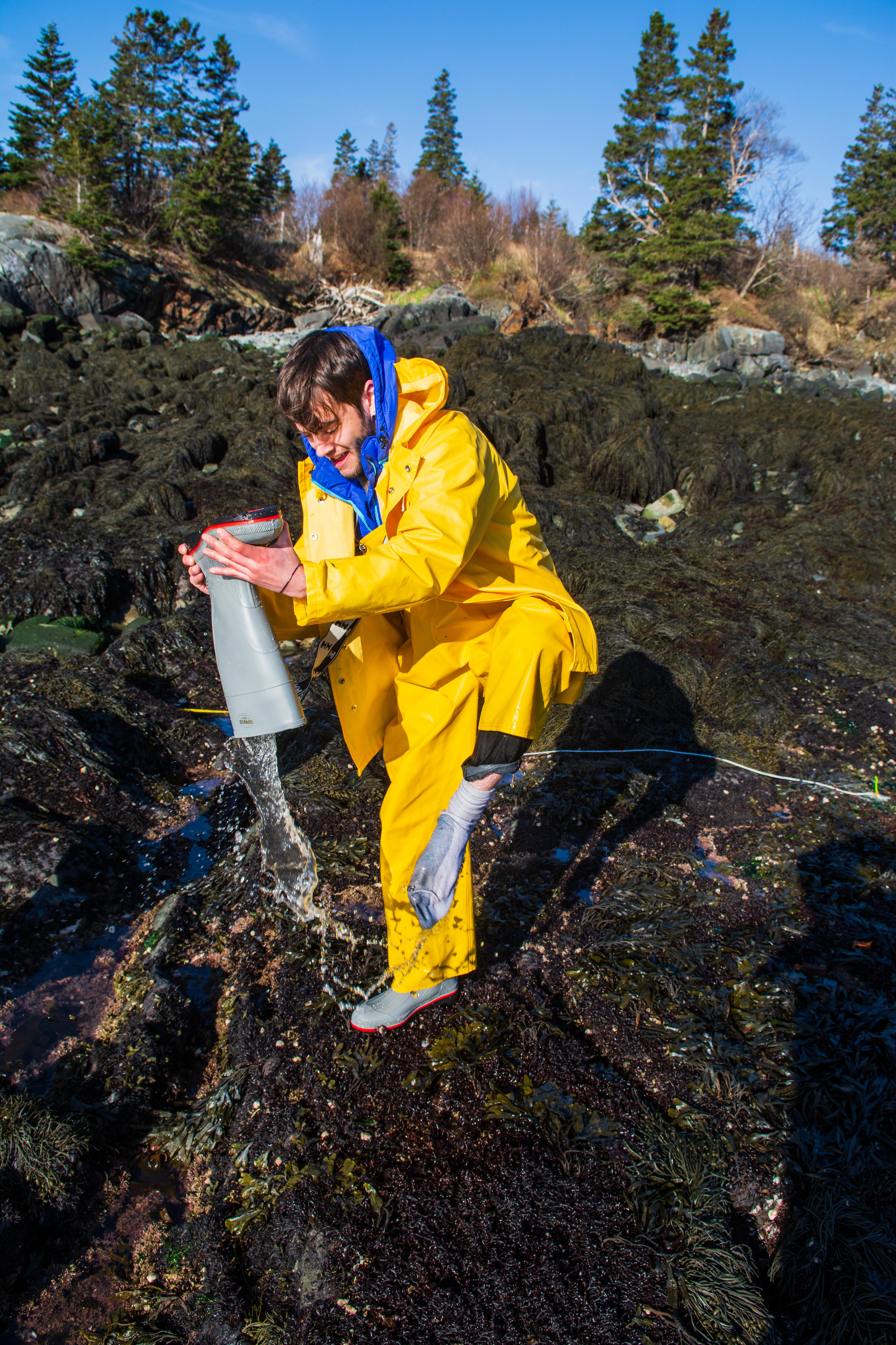
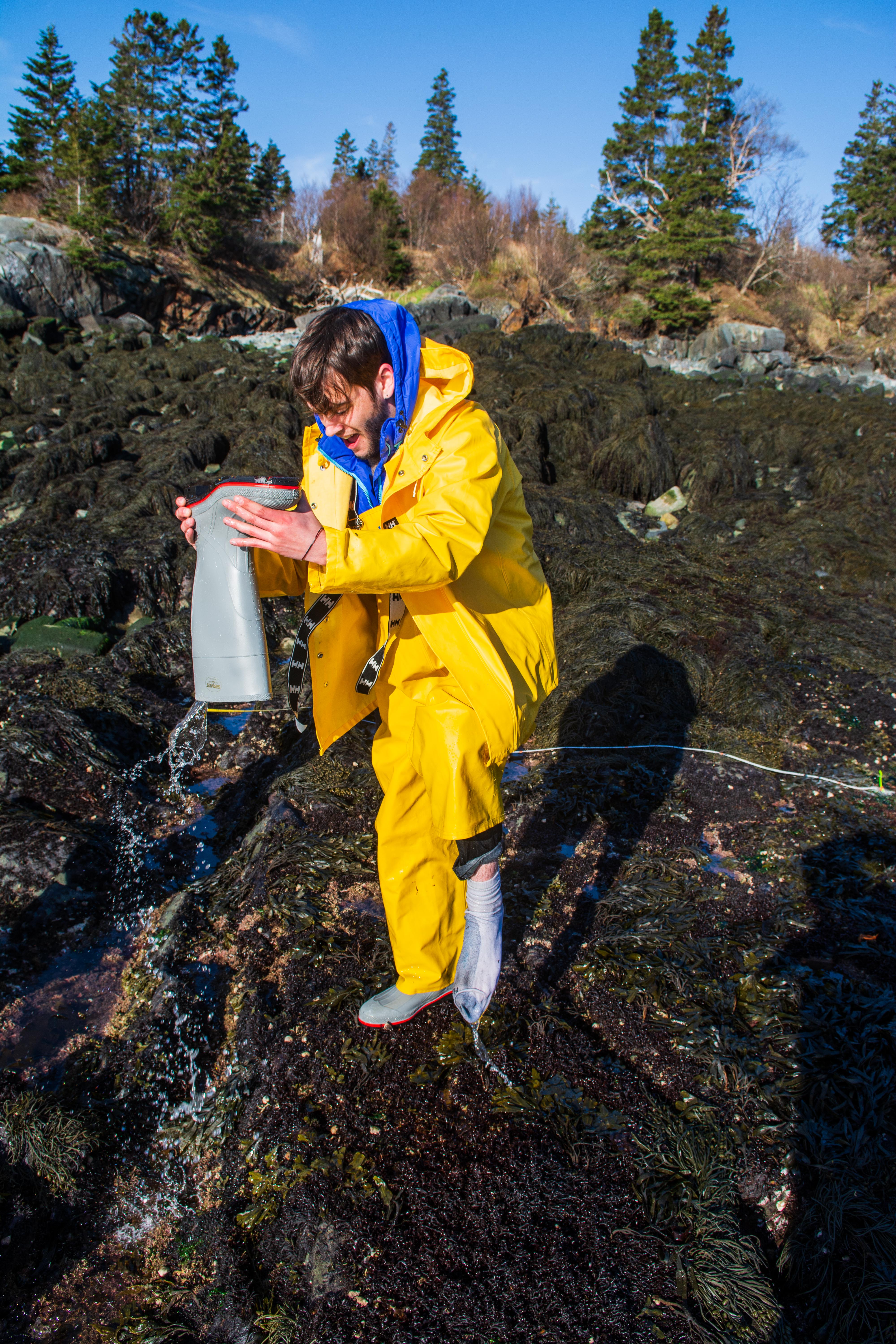
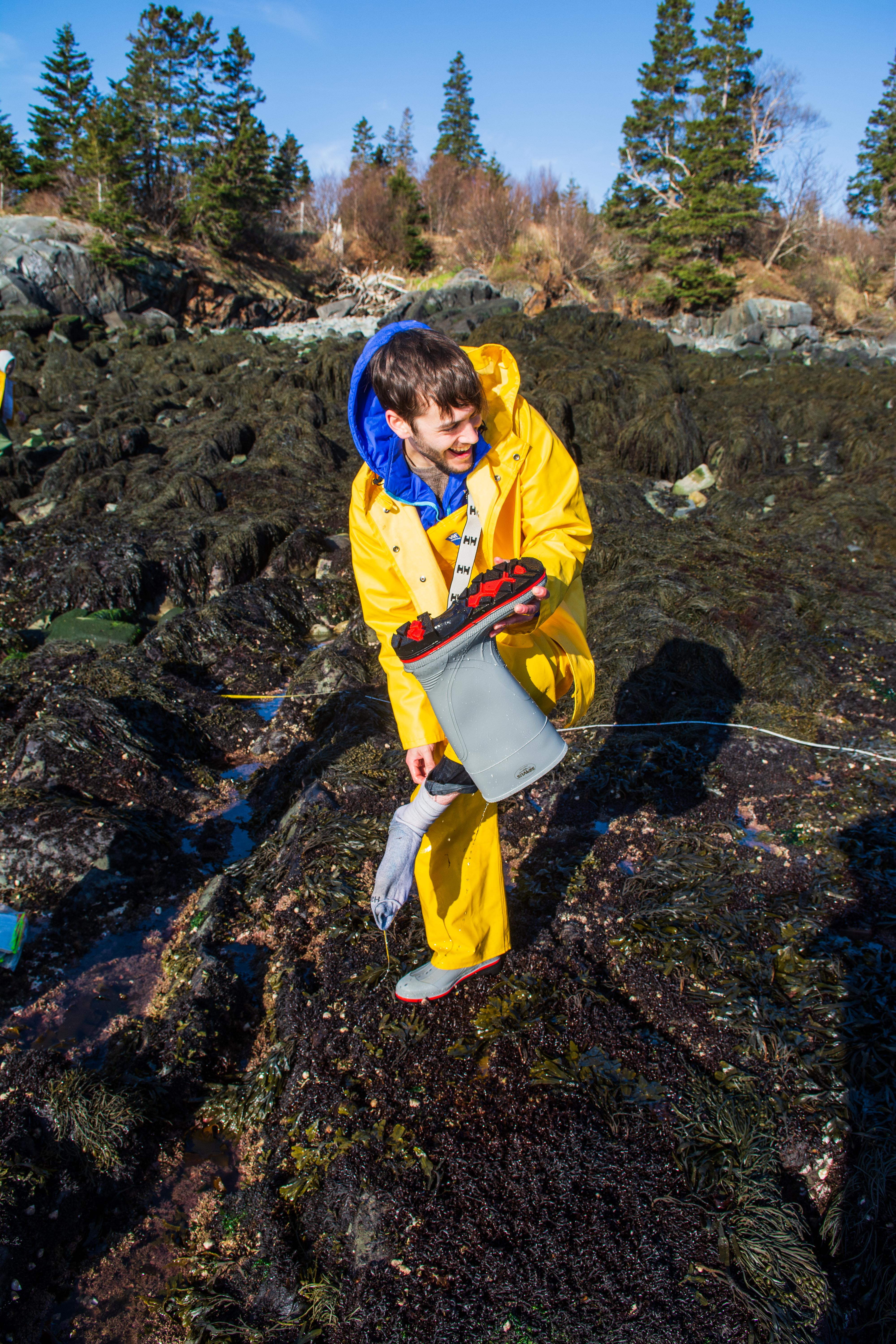
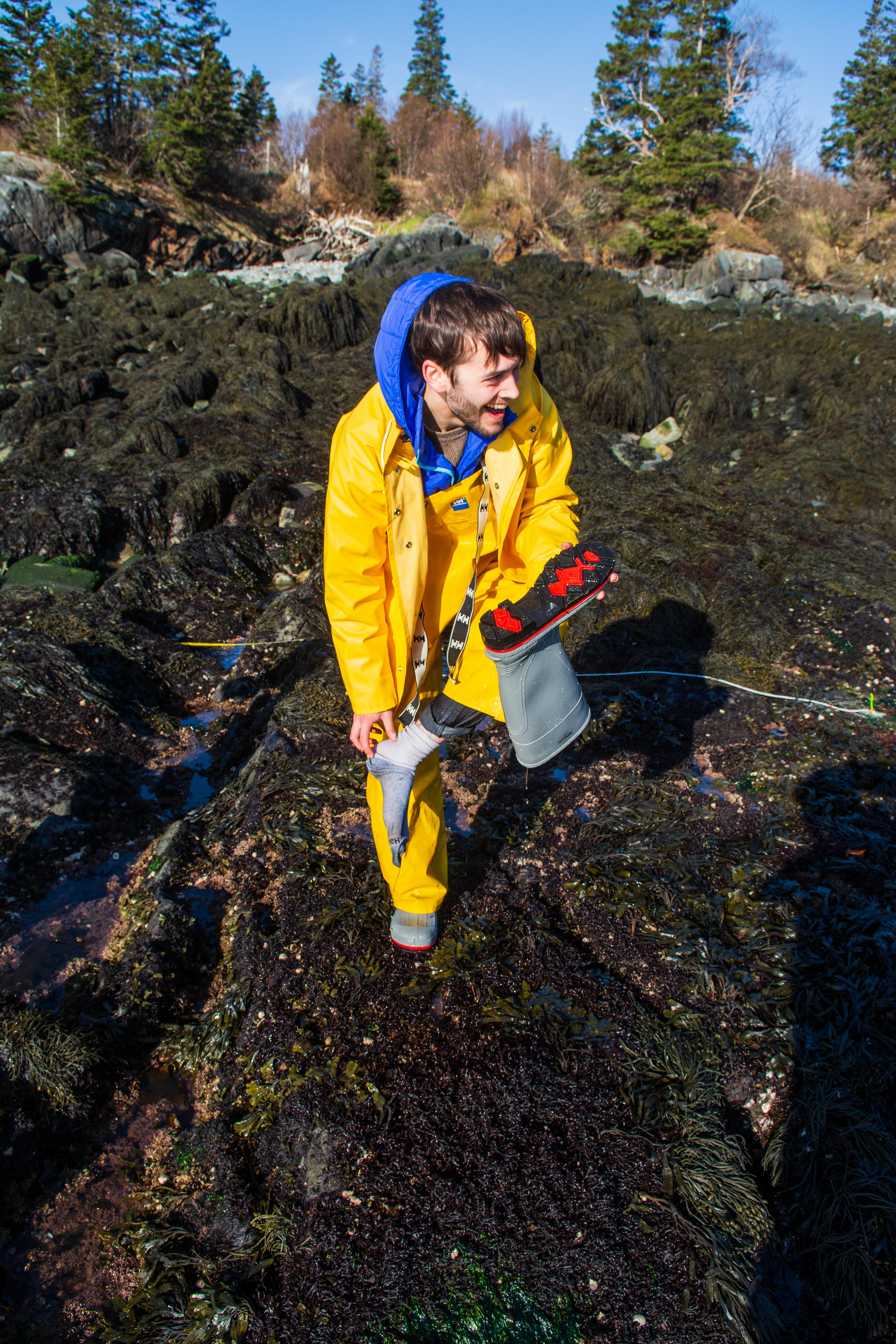
Using drones to model climate survivors in Downeast Maine

Anyone who has spent a day at a New England beach knows that it is often colder on the coast, and may have regretted not packing a sweater with their bathing suit and flip flops. Compared to the chilly air, the water can be even colder still, sometimes shockingly so. Like a beachgoer jumping in and out of the water, intertidal animals such as a mussel on the rocks experience a roller coaster of temperatures over a day. The tides bring cold, food-filled water twice a day only to pull it away again to reveal the mussels to punishing heat of the summer sun.

What a beachgoer may not realize is that mussels living on different beaches or even different rocks on the same shore can live in climates as different as a Boston suburb and a Cape Cod beach.  Underdressed tourists aren’t the only ones caught by surprise by local differences in environment; large amounts of research in marine biology neglect local variability, instead focusing on large scale environmental factors.

Senior Lab Technician Francis Choi and Professor Brian Helmuth discuss field sites in Hamilton, Maine. Photo by Tim Briggs.

Researchers from the Helmuth lab at Northeastern piled into two cars and made the 6 hour, 350 mile drive to Downeast Maine to explore local variability in the field. The crew for this trip included Dr. Brian Helmuth, the primary investigator and head of the Helmuth Lab, senior lab technician Francis Choi, two graduate students — Jessica Torossian and Ashley Cryan— and four undergraduate students, Sahana Simonetti, Sophia Ly, Jaxon Derow, and myself. The Helmuth Lab is focused on identifying and forecasting factors that are changing with the Earth’s climate.

Predicting a mussel’s response to a widespread effect like global temperature rise can be tricky, as seemingly small changes in its environment can have radical effects. Shading by algae or a rock, insulation from fellow mussels or mud, or even the orientation of the mussel can all influence how heat or cold impact the mussel. Shaded areas can be up to 60°F cooler than an area just 6 inches away.

Blue mussels and common periwinkles are crammed into a crack in the rocks in Winter Harbor, Maine. Refugia like this crack may allow these organisms to weather extreme climate events. Photo by Tim Briggs.

The local environment transforms an enormous number of life-determining factors for a mussel: wave action or ice scouring individuals off of rocks, breezes cooling their shells, small currents between rocks changing food availability, the list goes on and on. Expand these effects to every organism in the intertidal (the area between the water line at high and low tides), and you’ve got your mind wrapped around the importance of such small differences. New research has shown that local variability can buffer extreme events like heat waves or cold snaps, as insulated areas become a refugium from stress, safeguarding groups of survivors. A refugium is a biological term that refers to an area that supports a population of a once wider spread species. These survivors act as a backup, replenishing the surrounding areas with life after a large mortality event.

Until now, large scale studies were limited in their analyses, unable to take into account or ignoring local effects in an ecosystem. As strong storms and intense weather events grow more frequent, more extreme, and more persistent due to climate change, the ability to quantify the importance of local effects is poised to become a key focus of restoration and conservation efforts, helping damaged populations recover. 

Helmuth Lab graduate student Jessica Torossian measures percent cover of algae — how much of the rock surface is covered by each species — during a biodiversity survey in Hamilton, Maine. Photo by Tim Briggs.

As the sun rose on Downeast Maine in mid May, the researchers of the Helmuth lab and I were already packing the van full of field gear including full rain gear, several drills, precise GPS location hardware, a drone, and 8 pairs of knee high boots. Traveling light is not in a scientist’s vocabulary.

Why Maine? Well, the intertidal in the Gulf of Maine is a very stressful place for organisms to live, with strong summer and winter storms, intense temperature swings over the year and between air and water, not to mention that the Gulf of Maine is one of the fastest warming bodies of water in the world. The Helmuth lab has also partnered with Haifa University in Israel to study a sister body of water, the Eastern Mediterranean, which is warming at a similarly alarming rate.

We arose so early in order to catch the morning low tide, allowing us to work for several hours in the morning and again later in the day as the tide receded. The first step at a new site was to establish the two transects: 25-meter lines that would represent our research area. Along these lines we fastened permanent research areas which are marked by bolts drilled into the rock. Researchers return to these same sites months or years later to observe changes in the marine life, especially after extreme weather events. The main way that the Helmuth lab is assessing marine life is through measurements of biodiversity, or the amount of life and number of species in an area. The working theory is that more complex areas, which contain more refugia, will support higher levels of biodiversity.

Francis Choi flies a drone to map the intertidal landscape during a 2017 field expedition. Photo by Tim Briggs

To map the complexity of the intertidal, the Helmuth lab uses a novel technique. The lab creates 3D models which are then combined with thermal data, giving the researchers a detailed view of the environment and where organisms hunker down during extreme weather events. Drones are the key to creating these models. At each site, a drone flies in a grid pattern while taking photos and videos. Data from the drone’s positioning system is combined with GPS coordinates from measurements on the ground, providing a precise rendering of the research area accurate to the centimeter. All of this data is integrated into a rich 3D model back in the lab.

The Helmuth Lab is collaborating with Dr. Tarik Gouhier’s lab, to build another kind of model from their data. The Gouhier Lab uses mathematical models to determine how ecology on different scales interacts. Together, the labs are seeking to create a model that can predict the effects of refugia and apply the knowledge to large scale ecological processes and effects such as the temperature of a whole gulf, or the entire eastern seaboard. In the future, this model will be able to help researchers better understand the intricate dynamics of intertidal life.

The researchers hope that their model and data will help to encourage others to not overlook the importance of local effects, so that the effects of climate change can be more carefully and successfully managed.

To learn more about the Helmuth Lab and their research, visit their website.


The sun sets at the West Quoddy Lifesaving Station, a former Coast Guard operation that served as the base of the Helmuth Lab for the first half of the trip. Photo by Tim Briggs


Biology
Marine and Environmental Sciences